
Cao Bang Travel Guide: Waterfalls, Green Rivers and Slowing Down
Some destinations leave you with a single iconic view. Cao Bang stays with you as a sequence of quiet moments: river bends below limestone cliffs, the sound of falling water across a valley, village lanes, and a walk through Pac Bo, where history feels close to the land. This Cao Bang travel guide pairs unhurried scenery with practical planning for a smoother trip.
For first-time visitors, three or four days offers a comfortable pace. Sights stretch across separate mountain roads, so grouping nearby stops by route works much better than trying to cover the entire province in one rush.
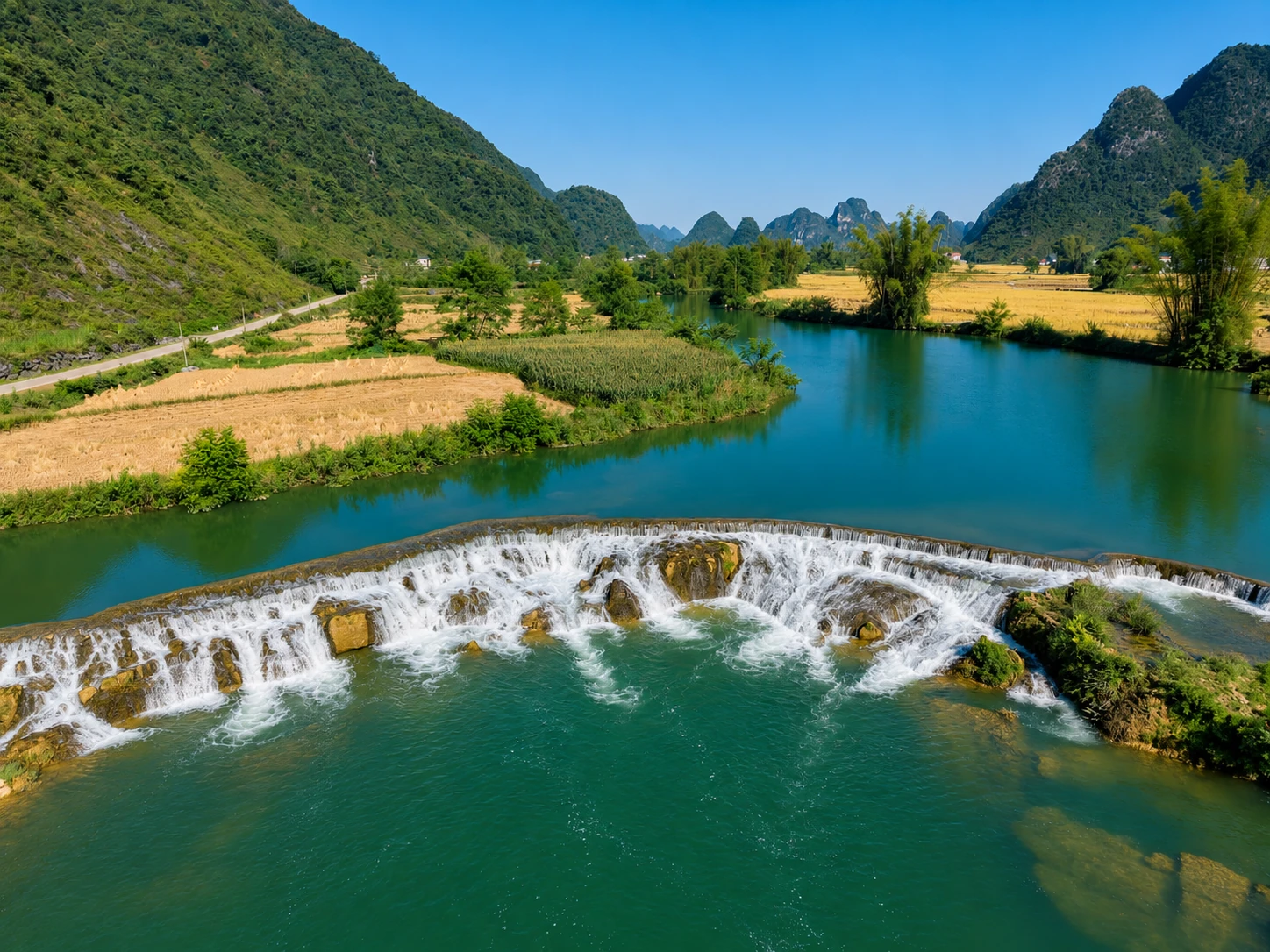
Quay Son River: A Shifting Shade of Green
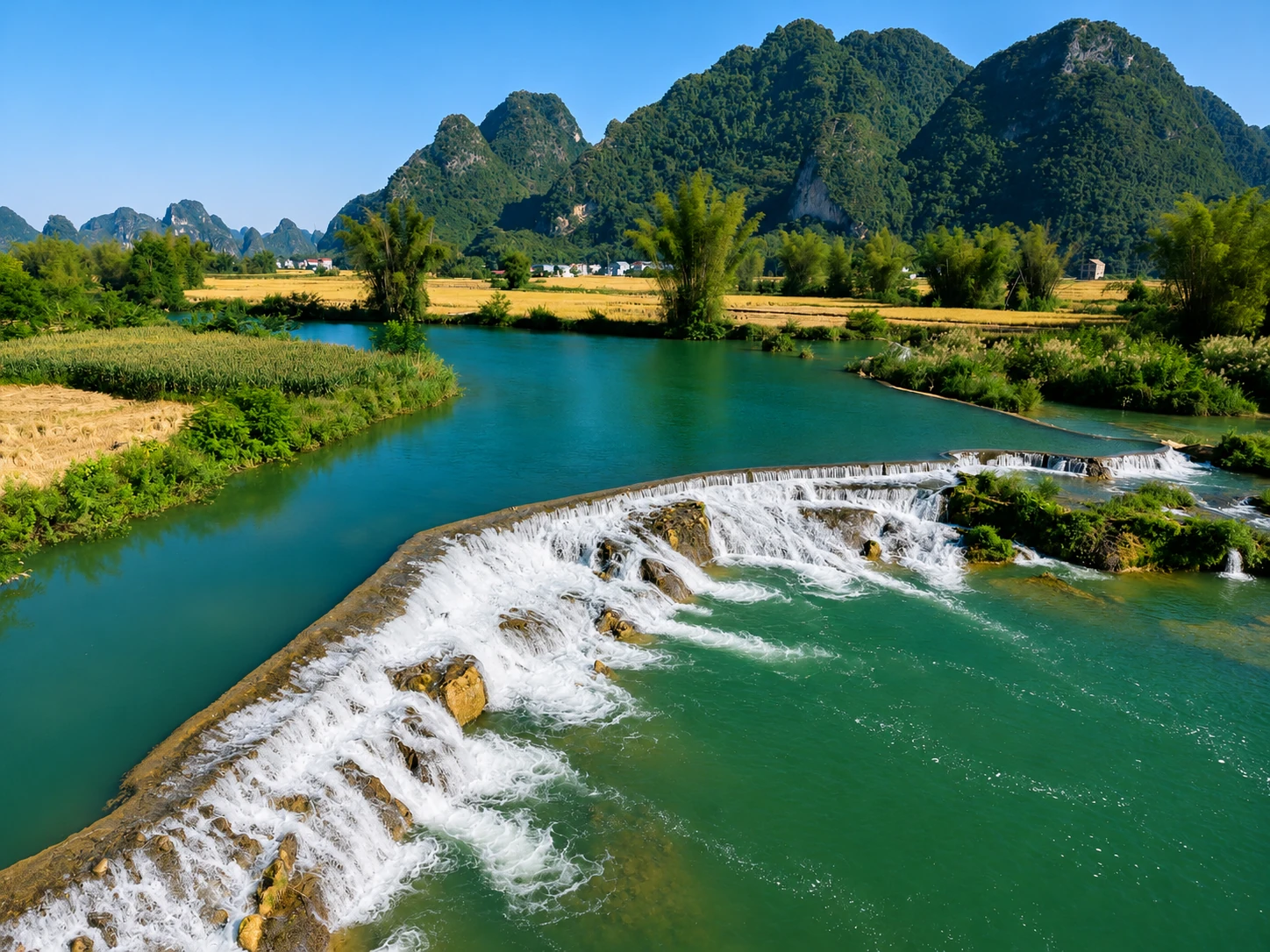
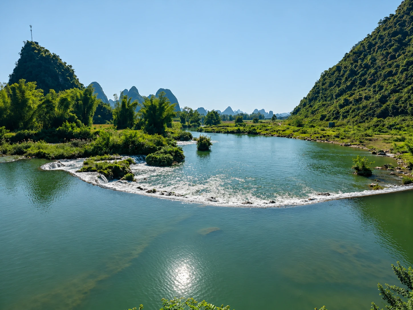
Around Trung Khanh, the Quay Son River winds through farmland and limestone hills. Clear light can bring out a rich green hue, while heavy rain quickly shifts its color and current. The river’s hue and water level shift with the seasons, rainfall, and light—check the forecast before you set off to catch it at its best.
When stopping by the water, choose safe, legal pull-offs and keep clear of weir edges, slick rocks, or fast currents. Soft morning or late-afternoon light usually suits the scenery best.
Practical questions answered
When is the light softest by the river?
Early morning and late afternoon usually bring softer light. Water colour changes with rain and current. Government source
Limestone Meadows and Quiet Valleys
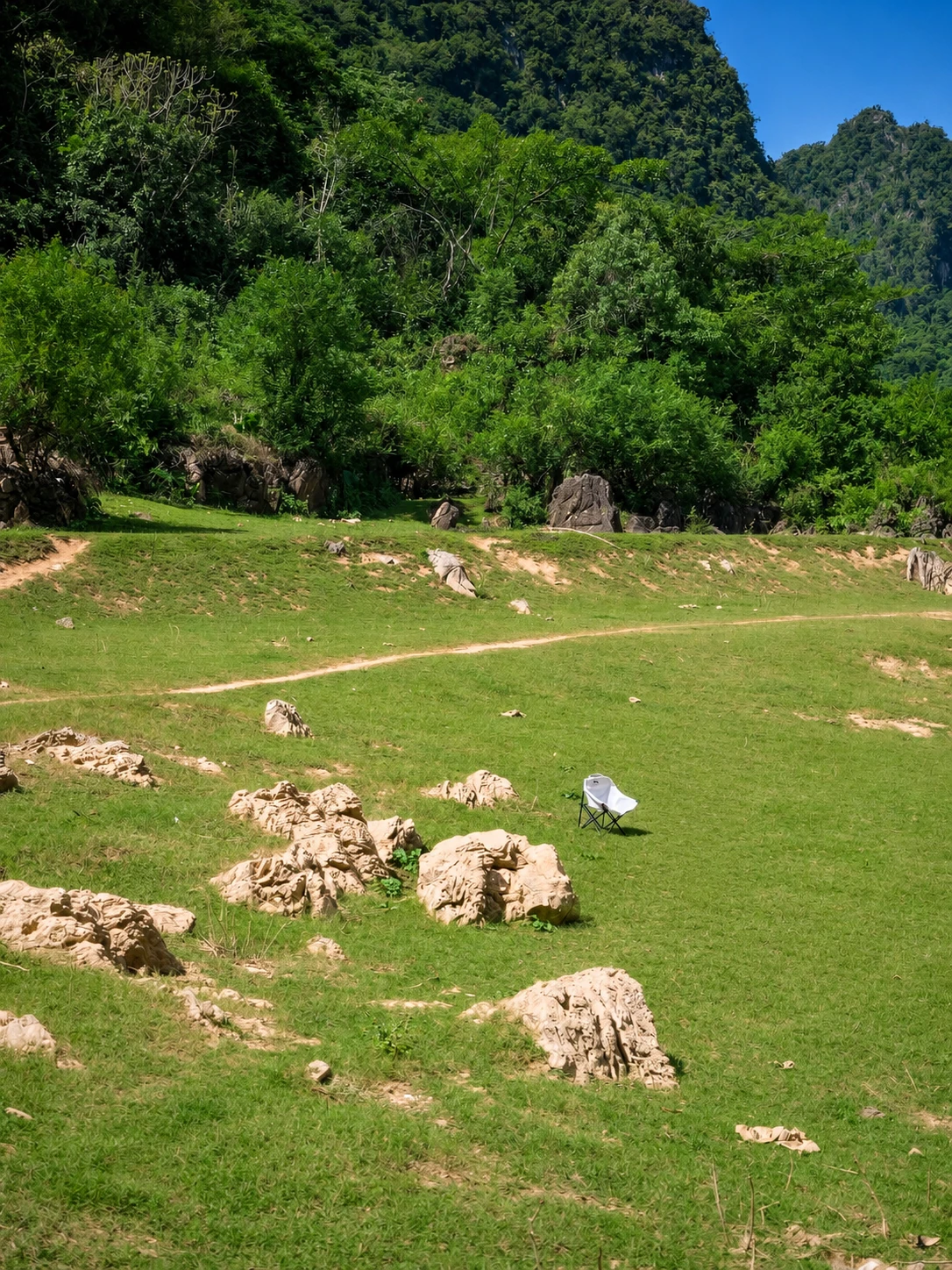
Beyond the main stops, Cao Bang opens into grassy pockets, scattered boulders, and valleys framed by forested slopes. Unnamed river bends and quiet hillside lanes often stay with you longest after returning home.
These landscapes belong to the Non Nuoc Cao Bang UNESCO Global Geopark (designated in 2018), and they are also working farmland. Stay on established paths, ask before stepping into private fields or taking close-up portraits, and leave gates and surroundings as you found them.
Practical questions answered
Can I walk or camp anywhere on a meadow?
No. Ask first if land is private or farmed, and camp only where visitors are welcome. Government source
Can I make a quick stop at Ban Gioung?
Do not squeeze it into the Ban Gioc loop; it is 47–71 km from the city depending on route. Ask ahead about hosting and community activities. Vietnam National Authority of Tourism
Ban Gioc Waterfall: Beyond the Postcard
Ban Gioc Waterfall sits on the Quay Son River along the Vietnam–China border. Tiered sheets of water pour over rock ledges, surging after rain and narrowing in drier spells. Give yourself time to listen to the falls and take in the setting instead of rushing straight to the next stop.
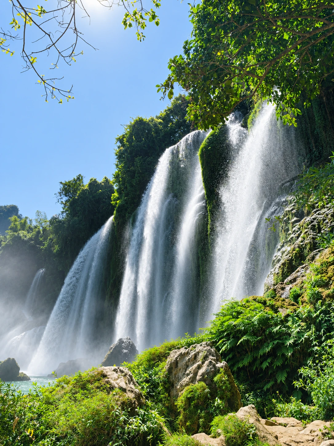
A practical eastern route links Ban Gioc Waterfall, Nguom Ngao Cave, and Khuoi Ky stone village. Inside the cave, look past the entrance formations; in Khuoi Ky, notice how stone houses belong to a living village rather than a staged set. Carry ID, follow border signage, check whether local rafts are running before making plans, and do not cross marked boundaries or fly a drone without permission.
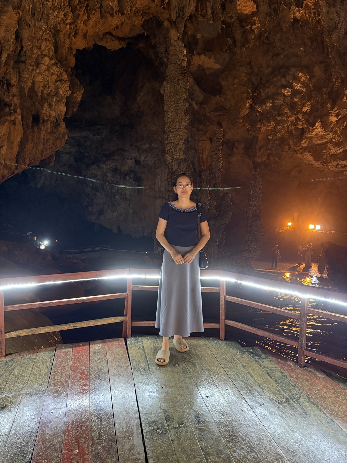
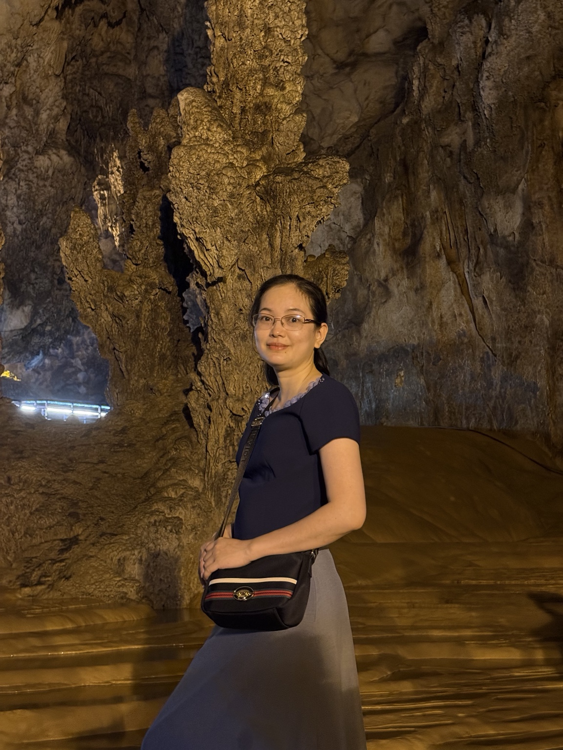
Nguom Ngao Cave: Two moments beneath the mountain
Stay on visitor paths, give your eyes time to adjust, and never touch the formations.
Practical questions answered
How far is Nguom Ngao Cave from the falls?
The national tourism database places it about 5 km away; confirm the visitor route open that day. Government source
Can I cross a border line for a photo?
No. Carry ID, follow border signs, and use only officially permitted activities. Government source
Pac Bo: History in the Forest
Pac Bo is closely tied to Ho Chi Minh's return to Vietnam in 1941. Coc Bo Cave and the surrounding forest reward a calm, attentive visit—read the exhibits and respect the site rather than treating it as a quick photo stop.
Because Pac Bo lies in a different direction from Ban Gioc, give it a separate half day or more instead of trying to fit both into a rushed loop.
Practical questions answered
Can I visit Pac Bo and Ban Gioc in one day?
Not sensibly on a three-day Hanoi trip: the clusters lie in different directions. Give Pac Bo its own day or add a night. Government source
When to Go, Where to Stay, and Mountain Driving
September and October often bring pleasant weather and shifting valley colors, though conditions vary each year. Rain can boost waterfall flow while increasing the risk of slick roads, landslides, or localized flooding. Check forecasts and road updates shortly before leaving, and drive mountain passes in daylight.
Most travelers reach Cao Bang from Hanoi by bus or private car. Cao Bang city is a convenient base for multiple routes, while staying near Trung Khanh or Ban Gioc makes an early morning by the falls easy. If riding a motorbike, avoid blind bends and unfamiliar remote stretches after dark, and check access roads and parking before booking.
Practical questions answered
Is rainy-season mountain driving safe?
Rain can bring fuller falls but also poor visibility, slippery roads, and landslide risk. Check official alerts and postpone if warnings are active. Government source
Can foreign visitors ride a motorbike themselves?
Only if their licence and vehicle class are legally recognised in Vietnam, with required documents and insurance. Hire a driver if unsure. Government source
A Relaxed 3–4 Day Cao Bang Itinerary
- Day 1 · Hanoi → Cao Bang city: Travel by bus or car, check in, and rest.
A mountain river valley — author’s photo. © Author, all rights reserved. - Day 2 · Eastern cluster: Leave early for Ban Gioc Waterfall, Nguom Ngao Cave, and Khuoi Ky Stone Village; stay near Trung Khanh or Dam Thuy to avoid a late mountain drive.
Ban Gioc Waterfall — author’s photo. © Author, all rights reserved. - Day 3 · Trung Khanh → Cao Bang city → Hanoi: Catch an early waterfall view if time allows, then follow your pre-booked transfer. Keep a buffer and drop extra stops if roads or weather deteriorate.
Nguom Ngao Cave — photo supplied by the author. © Author, all rights reserved. - Optional Day 4: Choose one cluster: Pac Bo, Angel Eye Mountain–Thang Hen Lake, or a community visit to Ban Gioung. Add nights if you want more than one.
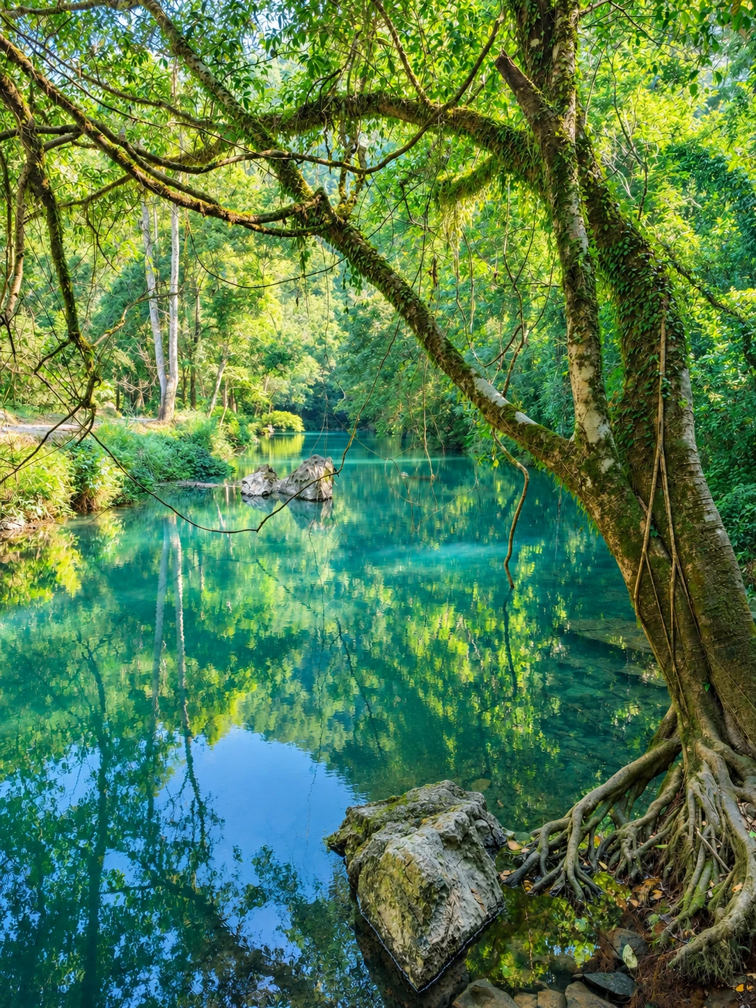
A limestone valley — author’s photo. © Author, all rights reserved.
Practical questions answered
Day 1: Should I visit faraway sights after leaving Hanoi?
No. Use the first day to reach Cao Bang city and rest; six to seven hours is only an estimate. Government source
Day 2: Can I combine Pac Bo and Ban Gioc?
Not recommended. Focus on the eastern cluster—Ban Gioc, Nguom Ngao, Khuoi Ky—and stay near Trung Khanh. Government source
Day 3: Should I add many stops before returning?
Only make a short stop along your route if you have time. Do not add Pac Bo or the Thang Hen loop to a Hanoi transfer day. Government source
Optional day 4: What should I add?
Choose Pac Bo or the Angel Eye Mountain–Thang Hen cluster; add nights if you want both. Government source
Map of Cao Bang destinations
Select a day to view clusters. Dashed lines suggest order only; they are not turn-by-turn directions or a road-status update.
Local Food and Practical Essentials

Try Cao Bang steamed rice rolls with warm broth, seven-flavor roast duck, and dong vermicelli. Ask about prices, ingredients, and opening hours ahead of time, as dining options and card or QR payments are limited outside towns.
Pack grippy shoes, a light rain jacket, water, cash, personal medication, and ID. Ticket prices, opening hours, raft operations, and border rules can change—confirm details with local operators or site staff before setting out.
Practical questions answered
What should vegetarians or guests with allergies ask?
Check broth, filling, frying oil, and shared utensils with the restaurant; recipes vary. Government source
Should I carry cash?
Carry cash outside town, ask prices first, and do not rely entirely on card or QR payments. Government source